OpenSDI
OpenSDI is a highly flexible Spatial Data Repository platform based on ‘GeoNode’ which is a web-based application and platform for developing spatial data infrastructures (SDI). It a single OGC-compliant web gateway to access geospatial data & imagery with facility of geo-processing.
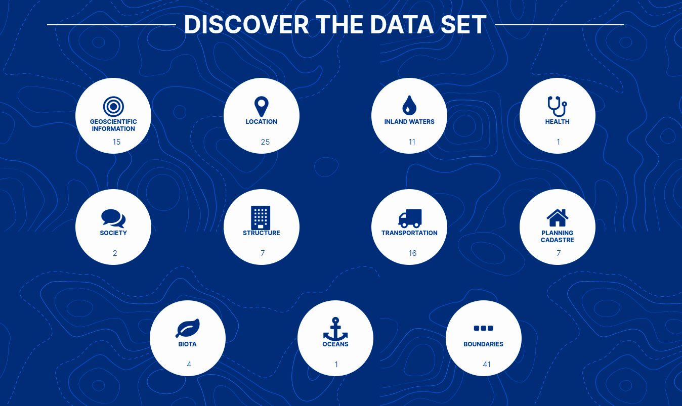
Features
- Spatial Data Discovery
- Powerful spatial search engine
- Federated OGC services
- Metadata catalogue
- Import and Manage Data
- Publish raster, vector, and tabular data
- Manage metadata and associated documents
- Securely or publicly share data
- Versioned geospatial data editor
- Interactive Mapping
- GeoExplorer GIS client
- Graphical style editor
- Create multi-layer interactive maps
- Share and embed maps in web pages
Use cases
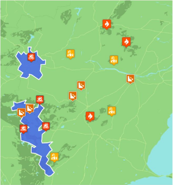
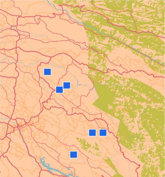
Disaster Risk Analysis
OpenSDI creating, sharing and accessing geospatial data and maps for decision-making about disaster risk and analysis.
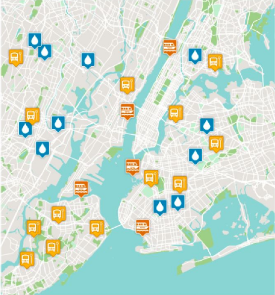
Transport, Water & Other Network Systems
Water information Network identification and assessment help to getting all the water resources in any area along with areas have water scarcity.
Flood Assessment & Management
Identifying the areas that are affected or chances for affect. Creating collaborative solutions for this kind of complex social and environmental challenges.
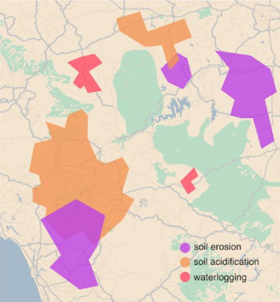
Soil Threat Identification
Navigate key soil data and access the database and some additional data related to main soil threats.
Urban Planning & Smart Cities
Urban researchers, planners, stakeholders and urban communitie store, discover and share data for city planning, analytics and decision-making.
Territorial Planning and Management Studies
Urban researchers, planners, stakeholders and urban communitie store, discover and share data for city planning, analytics and decision-making.